- Hawaii
- Big Island
- Nāpau Trail: hiking along the ancient craters of the Volcanoes National Park

The Nāpau trail is a long hiking trail in Hawaii's Volcanoes National Park that serves several points of interest, starting with the small wooded crater of Pu'u Huluhulu, then the Mauna Ulu that we skirt, the Makaopuhi Crater that we walk along and finally the Nāpau Crater.
The most courageous will go to the end of this long trail that approaches the base of the Pu'u Ō'ō, the old crater that still spits out its lava flow until April 2018, but which has emptied since the eruption in the Lower East Rift zone from the same year. Nevertheless it is not necessary to go all the way to the end of the 11.2 km to enjoy this trail, the walk is already quite interesting up to Mauna Ulu and the rest of the trail seems quite monotonous.
We had the opportunity to walk this trail twice. The first time we got lost up to the top of the Mauna Ulu by mistake following an unmarked trail that could be very dangerous. But what a view from the top! The second time we followed the right path and skirted the Mauna Ulu until we reached the edge of the Makaopuhi Crater, then we turned back at this point.
1From the parking lot to the Pu'u Huluhulu
The Pu'u Huluhulu is the first point of interest of this hike. It is an old crater covered with vegetation from where you can observe the whole area that extends to the Pu`u `Ō`ō.
From the car park, a wide and easy 2 km path leads to the Pu`u Huluhulu. Just follow the cairns through ancient lava flows. Numbered markers are located along the way and will give you information about the consequences of the eruption of Mauna Ulu between 1969 and 1974 (small paper guide with a fee at the start of the trail).
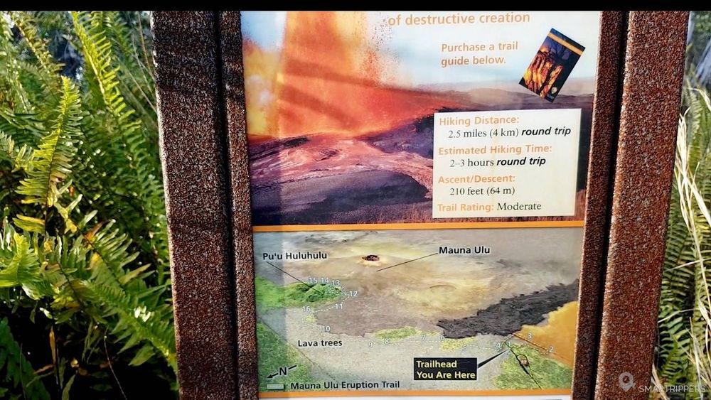
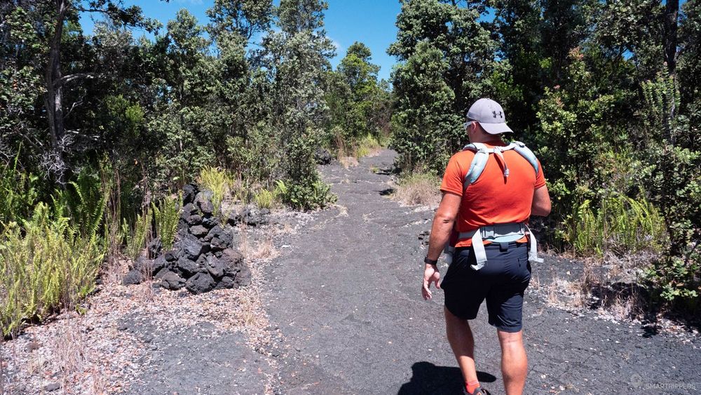
Don't forget to sign the register to indicate your presence before starting the hike.
After about 20 minutes of walking, we arrive at the base of Pu'u Huluhulu. A small fork gives us the possibility to take a wooded path that takes us 300 meters to the top of the small crater.
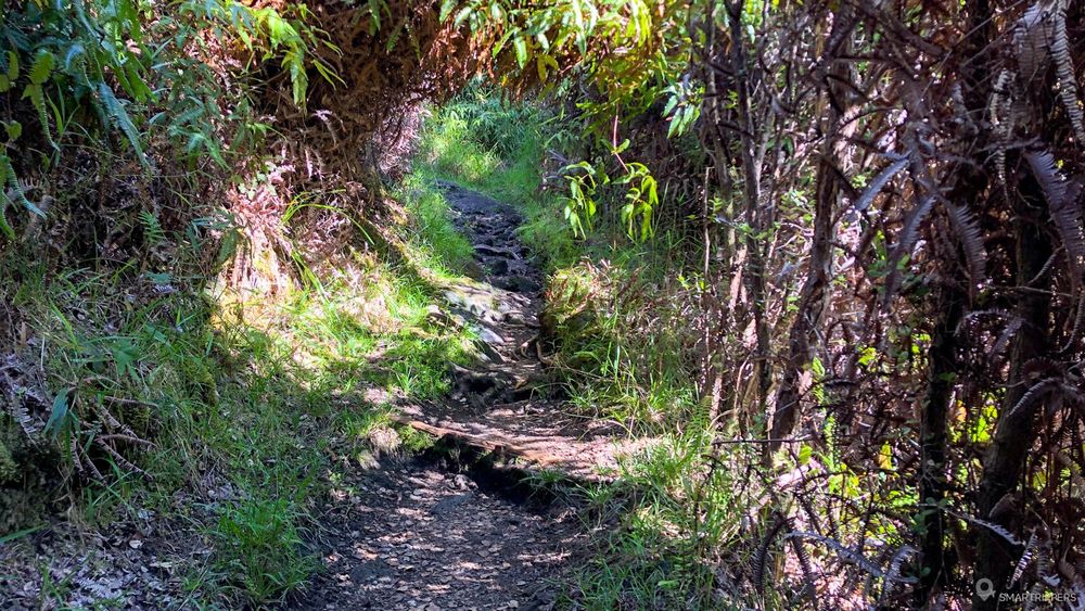
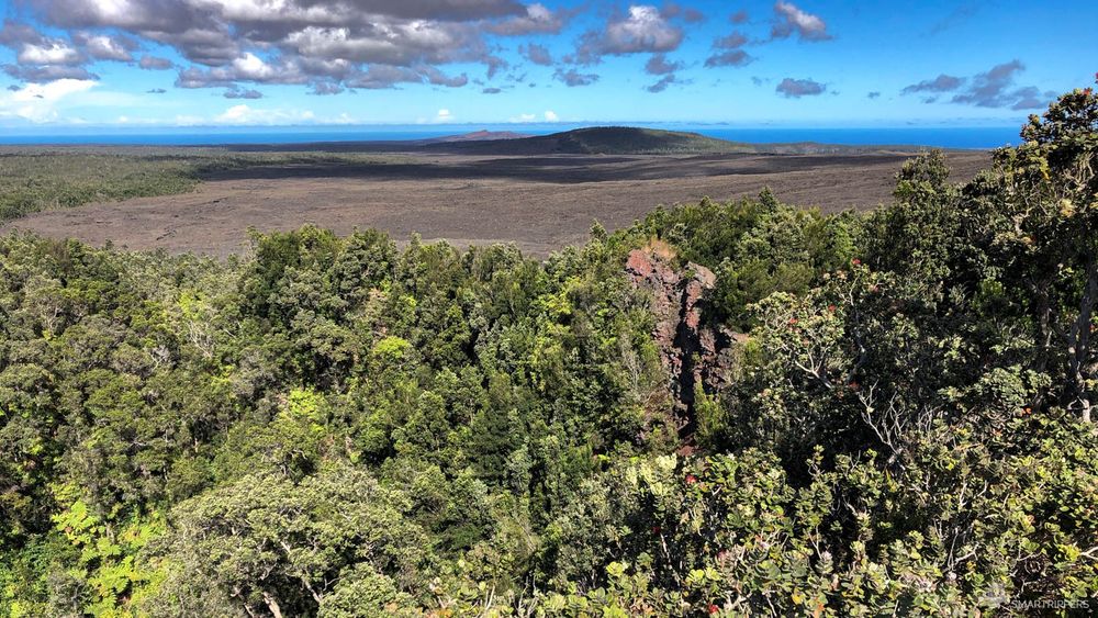
Don't expect a great view of the crater floor, which is covered with vegetation. Nevertheless, the view from the summit offers an interesting panorama of the Mauna Ulu and the Pu`u `Ō`ō, in the distance (at the back left of the Mauna Ulu), recognizable by its reddish colour.
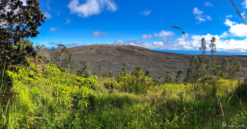
If you wish to continue the hike, you will have to go down the small crater and then follow the direction of the Nāpau trail towards the Mauna Ulu.
2The Mauna Ulu bypass
The path quickly emerges from the vegetation and enters the immense lava field at the foot of Mauna Ulu, the volcano that dominates the area and from which some fumaroles still escape. The cairns keep us on the right, on the edge of the forest before continuing behind Mauna Ulu.
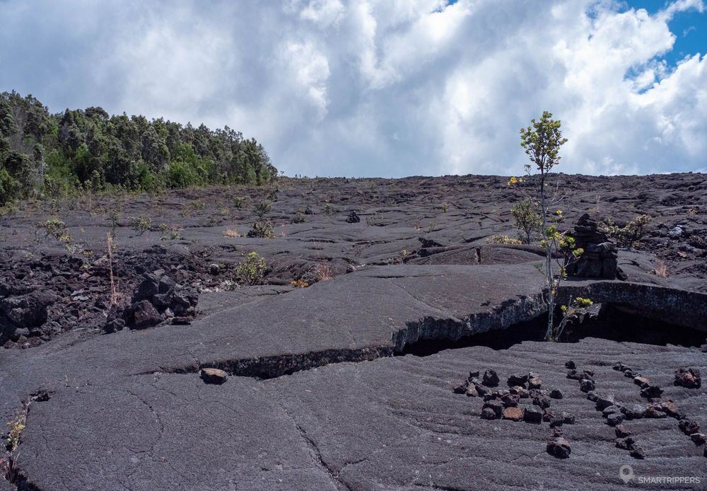
Don't be mistaken and follow the cairns well because without knowing it, we found ourselves at the top of Mauna Ulu in 2017 following tracks that we thought were cairns.
Of course, the top of the big crater was incredible but we were on an unmarked trail that could be dangerous.
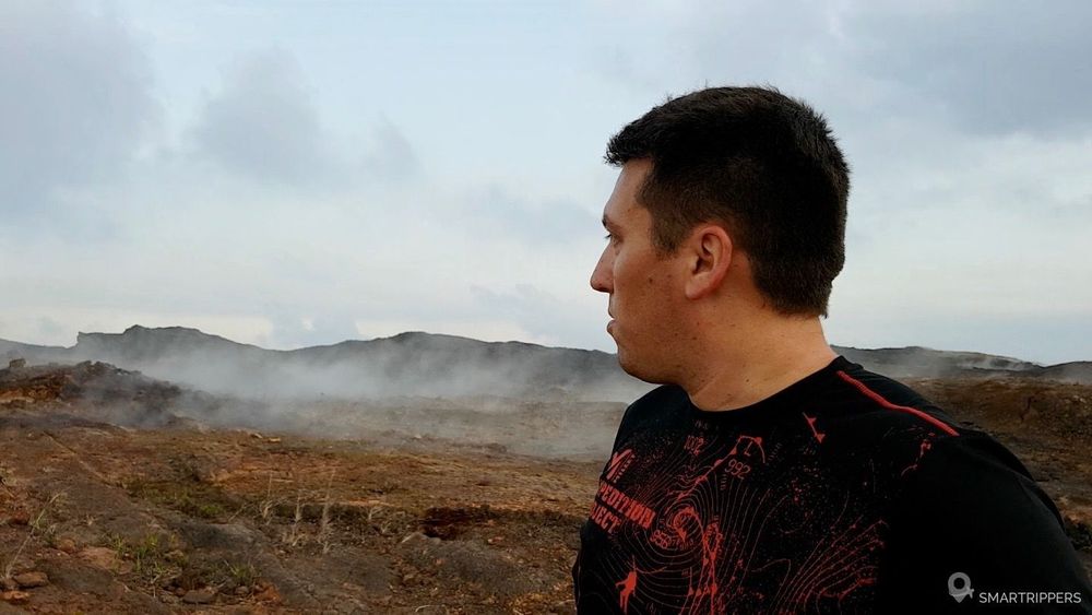
As we move into the large lava field, we get a better and better view of the Pu`u `Ō`ō who stopped smoking in mid-2018. Its ochre and red cone still looks hot!
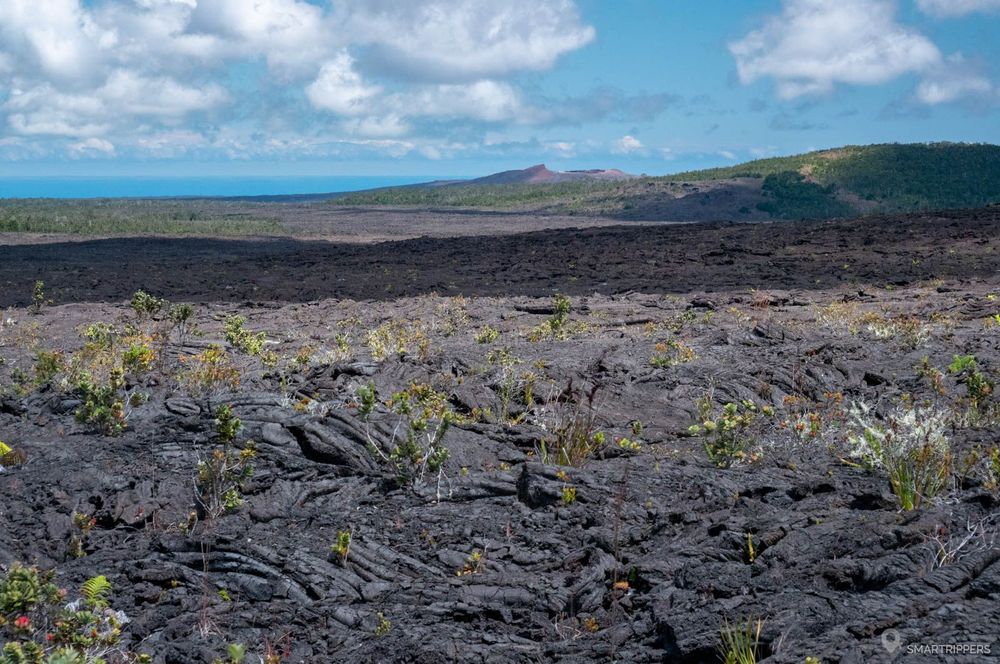
Here grow some 'Ōhi'a, this endemic species of Hawaii struck by a dangerous disease since 2018 that has decimated a good part of the specimens of Big Island. Since then, the protection of the species has been strengthened.

The path now skirts the Mauna Ulu to the north and winds through the strange mounds left behind by the lava that has gathered here. In the chaos of the flow, we can see traces of ancient lava rivers and tunnels.
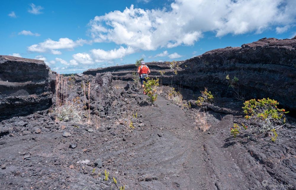
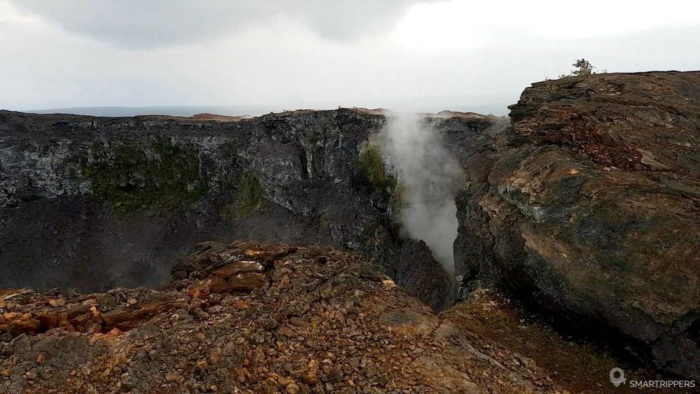
The trail continues through the lava field, sometimes making us climb a few small mounds. Then, at the GPS point 19.367993, -155.194071, we discover the impressive Alae Crater! Nothing indicates its presence here, so we are stunned when we arrive at the rim of its gaping mouth, still bearing the scars of the old lava flow that was once unleashed here, opening an exit door in the eastern side of the crater.
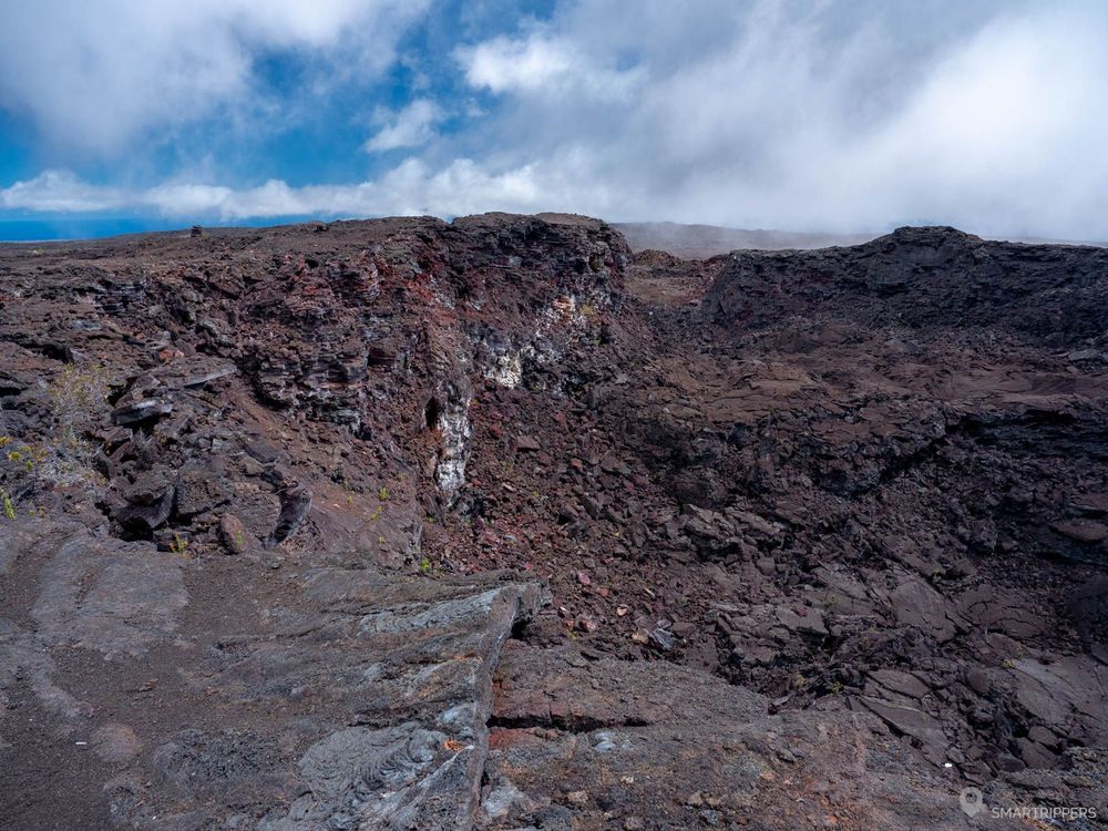

All around us, a few fumaroles remind us that the activity is still very close, and the heat that emanates from it only confirms that the rocks are still hot a few meters below!
But why is it still smoking?
It is important to know that molten lava takes several decades to cool down to the core. The last eruption in the area dates back to 1974, so the rock is still warm a few metres underground. It is therefore the contact of rain, which easily infiltrates through the porous lava blocks, that causes its small fumaroles. But be careful not to leave your hands in there for too long because some of them are really hot.
After the Alae Crater, the trail continues its progression towards the next point of interest: the Makaopuhi Crater. This last crater being much less impressive because it is older and covered in places with vegetation, we decided to stop after reaching a small promontory overlooking it. Nevertheless it is easy to continue this hike which then goes along the Makaopuhi Crater before arriving at Nāpau Crater.
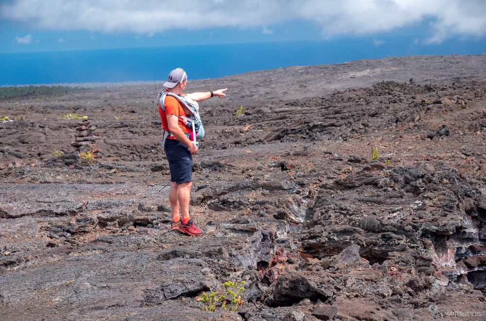
To find oneself alone beyond Mauna Ulu.
The discovery of the Alae Crater and its fumaroles.
Wandering through the chaos of the lava field.
A little monotonous hike at the end, the points of interest being quite spaced out.
I'm Sandrine, originally from Toulouse, France, and a passionate traveler. I first discovered the islands in 2017, and it didn't take long for me to fall completely in love with Hawai'i. I loved it so much that I came back the very next year! Then, in 2019, I decided to leave everything behind and set off on the adventure I had always dreamed of: traveling around the world. My five-month-old daughter came along for the journey. After exploring the Pacific, we made Hawai'i our home for three unforgettable months. During that time, I immersed myself in the islands, exploring, mapping, and documenting almost every point of interest, from the iconic must-see places to the hidden gems most visitors never get to discover. And I came back once again in 2022!

That experience led to the creation of Smartrippers, and later Trip-Hawaii, driven by my desire to share everything I've learned about Hawai'i through my travels since 2017 — my favorite discoveries, practical advice, and insider tips to help you plan your trip with confidence and make the most of your time in the islands. My goal? To save you time, take the guesswork out of planning, and help you experience Hawai'i at its very best, so that your trip can be every bit as magical as you've dreamed — and perhaps even become one of the most unforgettable journeys of your life.